About
Site Directory
Copyright © 2025 www.isleofman.com
All Right Reserved
powered by 
Copyright © 2025 www.isleofman.com
All Right Reserved
powered by 


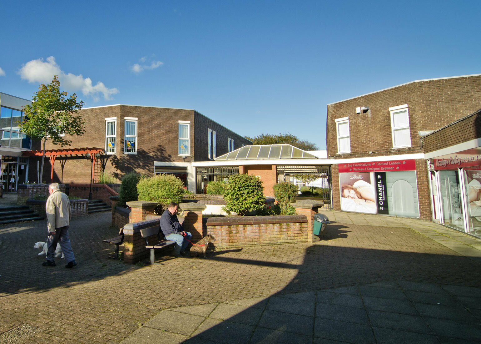
The Isle of Man parish of Onchan, includes the village of Onchan (often regarded as a suburb of Douglas)
The parish of Onchan (or Conchan - named from St Connaghan, the successor in the see of St Lonnan or Lomanus) stretches from Cairn Gerjoil and Port Growdale to the town of Douglas; and from the river Glas and the East Baldwin Valley to the sea. It is of a very irregular form, and contains about 10 square miles. Its coastline contains the great headland of Banks' Howe, 393 feet and the northern half of Douglas Bay.
Towards the north-west it is hilly, a ridge of barren hills, the highest point of which is Slieau Ree, 1,036 feet, crossing the country in a SE direction to Clay Head and Banks' Howe; but it slopes rapidly towards the south-east to the Central Valley and Douglas Bay.
The Growdale river rising on the Skoryn, and the Sulby river (a tributary of the Glas), rising on Slieau Meayl, are its two chief streams. The hilly region in the NW is fertile and well cultivated. Its surface is diversified and pleasing, and, especially in the neighbourhood of Douglas, is thickly studded with country villas.
The village of Onchan, which may be regarded as a suburb of Douglas, is the only centre of population within the parish. The most remarkable things in the parish are the enormous reservoirs constructed in connection with the supply of water for the rapidly increasing town of Douglas.
In this area: